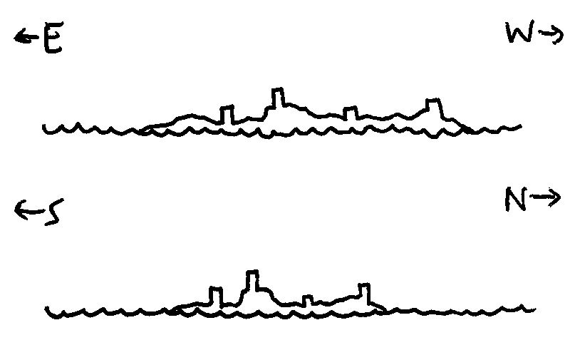
Week 3: Islands and changes
The Islands
My changes for this week were to add random-rolled weather (a d6 or d10 random table of weather conditions) and new temperature stats for each island. I decided to come up with the temperatures by taking 10°C and adding 2d6 for the average temp, then rolling 1d6 for the spread (so e.g. the first day I rolled 7, so the average was 17, then 5, so the max was 22 and the min was 12).
For weather, I realised the game The Forecast is pretty much exactly right for this, in the right level of detail, and it'd be super-easy to combine the two games in play, which'd be better than adding a kinda-limited d6 or d10 table to this game.
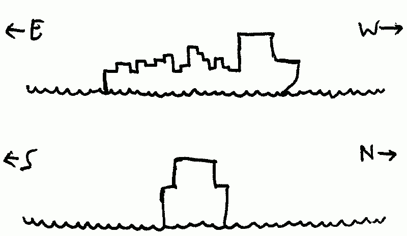
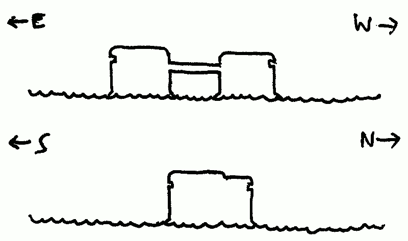
The Can Opener
- Elevation
- 71 m
- Area
- 1.1 km2
- Temperature (day)
- 22°C
- Temperature (night)
- 12°C
- 1: Impression: A riot of colours, gutted, tumbled, and repurposed containers painted in neon.
- 4: Path: Access afforded by a crane on one side that quakes with the thrum of the engines… and creaks with the breeze.
- 2: Focus: A clothesline droops between two open containers; cheap, holey sportswear. A rat pokes a head through.
- 10: Focus: The entryway's blocked by an armed guard in a sea-green duffel coat who spits some white sludge to the ground as we approach. No passports?
- 5: Impression: For all that it looks ramshackle, there are signs of care everywhere: everything aboard is clean, well-oiled, solidly-supported, built under bold and purposeful eyes.
Reasons to leave: No passports. The guard chides us for wasting some of their electricity on the crane trip and shoos us away.
Reasons to return: To see just how they survive like this. To gain access to any ocean charts they have. To find out why some utopian dream brought to life has a passport system.
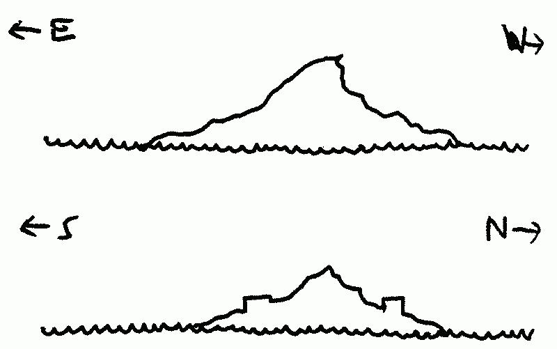
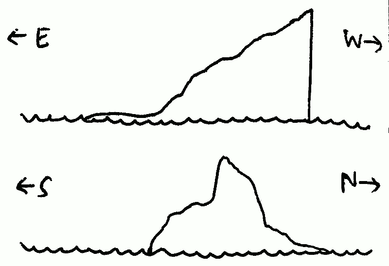
Wart Island
- Elevation
- 77 m
- Area
- 1.9 km2
- Temperature (day)
- 22°C
- Temperature (night)
- 10°C
- 6: Impression: A tang of bitterness drifting on the air.
- 12: Path: A circular path round the island, the Northern half well-trod, the Southern half overgrown.
- 2: Focus: A squat stone hut; a crack down one side is overflowing with blue-green moss.
- 5: Focus: A two weatherbeaten women wave from the windows, bemused at having visitors. Their skin almost seems to be layered in stone strata from head to toe.
- 7: Focus: Inside: a CRT with a tendrilline aerial, a cluster of radio apparatus, and an oscilloscope casting a gentle green light on the wall.
Reasons to leave: Radiation sickness, of all things. The women help us outside and haul us, sputtering and coughing, to the shore, apologising with every step. Somehow the sickness fades as they push our landing boat away, and we recover none the worse for wear.
Reasons to return: To have a proper conversation. To see if there's anything that can be done. To scale the peak and to visit the other building.
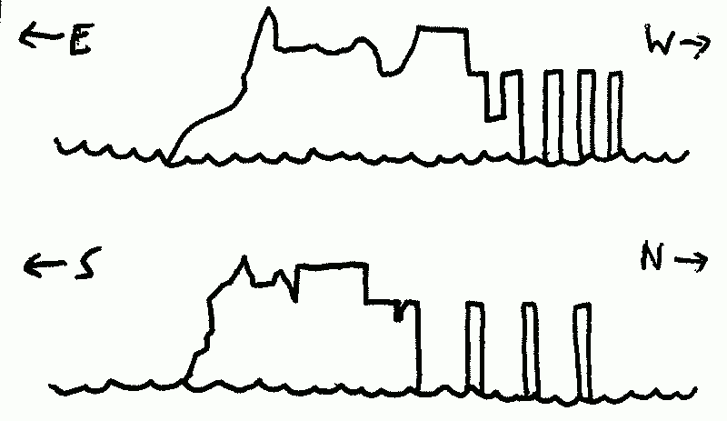
Bunker Island
- Elevation
- 17 m
- Area
- 59 m2
- Temperature (day)
- 25°C
- Temperature (night)
- 17°C
- 5: Impression: This was broken off of something much bigger—or, the greater part was devoured by sea, leaving this morsel.
- 3: Path: Bonestrewn concrete stairs up the side of the ruins of a wind-gnawed jetty (only legs remain). Fishbones.
- 4: Focus: A large tub of water sits on the dock, blotted with moss and lichen; tiny shrimp and fish dart between the foliage.
- 8: Focus: Lighter patches on the dock, rectilinear lines; inverted shadows where walls once protected the ground from smoke and rain.
- 10: Focus: A single orange tree perched on the remaining soil, roots desperately holding this place together.
- 1: Path: A vein of gently-humming red stone runs from the islet's tip to the sea.
Reasons to leave: A faint rumbling, pulsing like a heartbeat. Ripples on the inadvertent aquarium on the docks. They grow taller every second. We back off.
Reasons to return: Map the full former extent of this island. Determine who was here and why it sank. Get some oranges (if they are oranges).
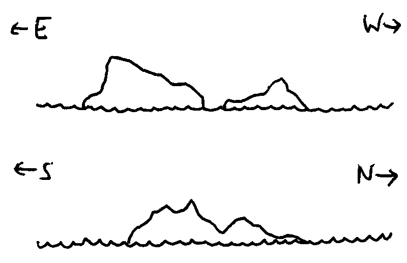
Monocle Island
- Elevation
- 660 m
- Area
- 10.2 km2
- Temperature (day)
- 18°C
- Temperature (night)
- 14°C
- 1: Path: The central channel is layered with broken ships and floating mannequins, making for difficult passage.
- 2: Focus: Two mannequins clutch each other, faces twisted to breaking point in delirious anguish.
Reasons to leave: The mannequins begin clawing at our ship, desperately trying to drag themselves aboard, and more and more rise from what at first seemed like shallow waters. The captain decides we're at risk of sinking.
Reasons to return: To recover more of the mannequins—they became inert, dead, once we had them on board, but there were just so many…
Tombstone Island
- Elevation
- 59 m
- Area
- 6.7 km2
- Temperature (day)
- 25°C
- Temperature (night)
- 13°C
- 4: Impression: A feeling of being shunned, as if the pillars here always have their backs to us.
- 2: Focus: A tarpit surrounded by starfruit trees, boughs hanging over the black.
- 5: Impression: Anthills everywhere, stubby little shacks of anthills divided against each other in perpetual war.
- 6: Path: An inlet on one side of the island leads up through a stream to one of the low peaks—and the water that feeds it pours from the top of one pillar. Crystal clear.
Reasons to leave: The sun's going down and the noise of the ants is rising and rising and the shine of black carapaces on the ground grows more bulbous in the twilight.
Reasons to return: To scale one of the pillars. To gather fruit. To identify the ants here.
Execution Island
- Elevation
- 1010 m
- Area
- 10.4 km2
- Temperature (day)
- 23°C
- Temperature (night)
- 11°C
- 4: Impression: Severity and extremes abound here; everything seems mirrored. From afar we just see flat, shallow expanses and the massive vertical drop, but when we make land it's obvious how deep the reflection goes.
- 6: Path: A gravel road winds back and forth past shady bothies on the way to the peak.
- 2: Focus: Down here on the shallow plain—a whale carcass, effervescent with life.
Reasons to leave: Gunfire from up the mountainside. A few sheep dart away, but most stay where they are, as if they've heard this a thousand times before.
Reasons to return: Investigate that drop-off. So perfectly vertical… is it natural?
Fort Nocebo
- Elevation
- 35 m
- Area
- 1.02 km2
- Temperature (day)
- 15°C
- Temperature (night)
- 11°C
- 4: Path: A single crack spirals the height of the Eastern tower, dusted with gold.
- 1: Path: A rope ladder hangs from a battered walkway, past bent and rusted rungs, to the choppy sea.
- 5: Impression: Birds gently caw everywhere here, as if they've found a home.
- 6: Focus: Tied to the walkway: well-maintained flags of hitherto unknown nationalities. Holes sewn up, dyes recently replenished.
Reasons to leave: A vast seven-eyed avian head emerges from the top of the fort—which must be open to the air—and glares imperiously down at us. We run—dive—swim back to the boat.
Reasons to return: Someone must live here, with that. Did we misinterpret its actions before? Or were those separate beings? …Or did that monstrous bird hang those flags?
Thoughts and changes
I dunno if the temperature stats really add anything, at least with the vague setting I've got (temperature and climate don't change that much island-to-island). It could be neat if the setting had more variety in climate/season/etc. (like e.g. uh the Grand Line in One Piece), but for Archipelago23 it's not so useful, so I won't be doing them going forward.
I've also been thinking about the "Reasons to leave/return" part of each island. On one hand it's nice to have a separate, mechanically-distinct thing after the exploration, but on the other it's kinda restrictive in that the reasons to leave always come from the island or are otherwise related to it. I'd try something like only writing 'Reasons to leave' if I leave on a 2d6 roll, but since I never leave on 1d6 that's kinda moot.
Here's what I'm gonna try next week:
- Scrap "Reasons to leave" and roll all that stuff into features that're rolled on 2d6 (so those features involve some kind danger, obstruction, confusion, resource drain etc.)
- Add a fourth feature—Events—to make up for the fact that "Reasons to leave" usually involves some kinda event shaking things up
Leave a comment
Log in with itch.io to leave a comment.